
Croatia · Adriatic
Central Dalmatia
Hvar, Brač, Vis and Šolta – the liveliest island cruising grounds around Split.
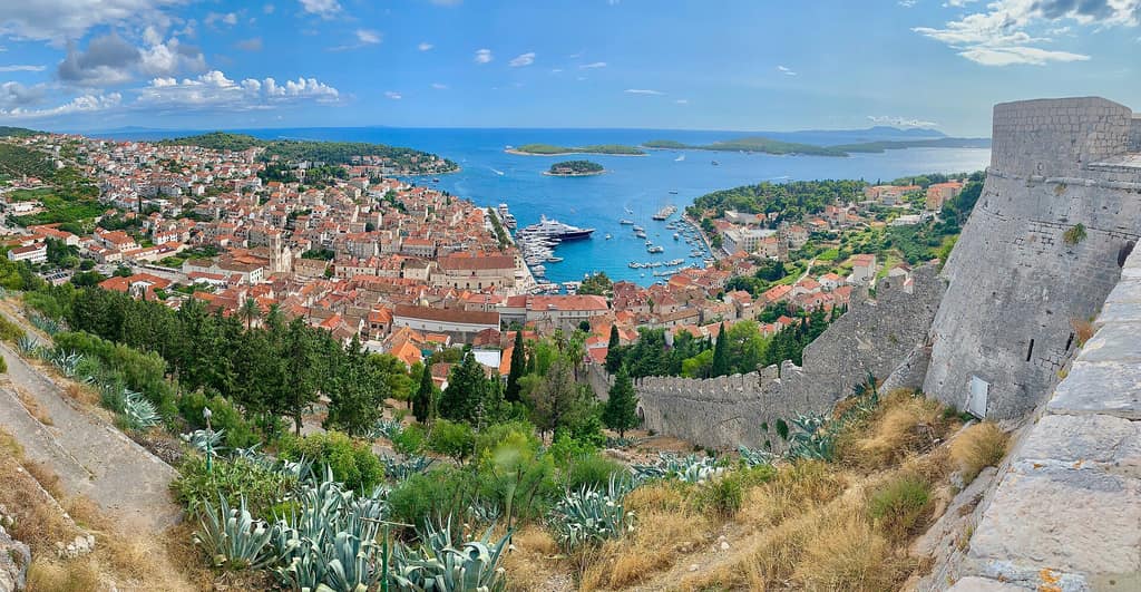
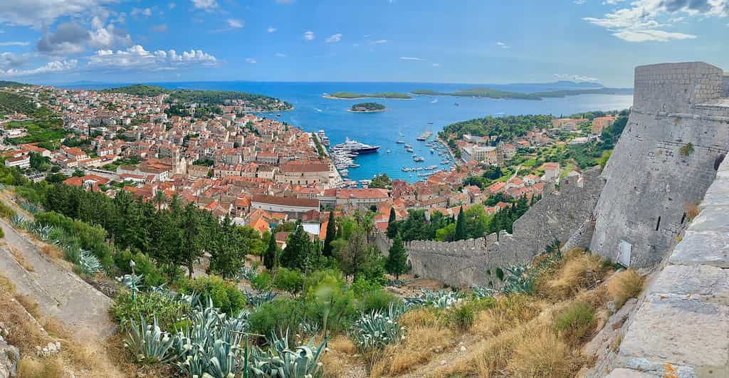
Hvar und die Spanische Festung in Mitteldalmatien, Kroatien · Photo: Steve Jurvetson · CC BY 2.0, Wikimedia Commons
The sailing area
Central Dalmatia · Croatia · Adriatic
Croatia’s best-known charter cruising grounds lie around Split. Hvar is a hotspot for the in-crowd, Brač offers the famous Zlatni Rat beach, and Vis beckons with traditional villages and the Blue Cave on Biševo.
The Pakleni Islands off Hvar are a paradise of bays, while Šolta and Drvenik offer quieter alternatives. Arrive at your anchorage early in high season – the most beautiful bays start filling up at midday.
Nautical chart with anchorages
Nautical chart requires consent
To display the chart, map tiles are loaded from OpenStreetMap and OpenSeaMap. This transmits your IP address to their servers. Privacy policy
Anchorages in Central Dalmatia
Bays, harbours and mooring fields in Croatia. Coordinates are approximate and not for navigation. Google Maps shows a place search, not a verified anchoring position.
- 1
Palmižana (Pakleni)
Mooring field · 43.161° N, 16.393° E
Mooring buoys and a marina off Hvar, with a water taxi into town.
Search in Google Maps - 2
Ždrilca (Pakleni)
Bay · 43.157° N, 16.406° E
Narrow channel between the islands, very quiet.
Search in Google Maps - 3
Stiniva (Vis)
Bay · 43.022° N, 16.169° E
Spectacular rocky cove – accessible only by dinghy.
Search in Google Maps - 4
Komiža (Vis)
Harbour · 43.043° N, 16.089° E
Fishing village and departure point for the Blue Cave.
Search in Google Maps - 5
Uvala Budikovac (Vis)
Mooring field · 43.004° N, 16.207° E
Small island with a lagoon and a konoba.
Search in Google Maps - 6
Bol – Zlatni Rat (Brač)
Bay · 43.256° N, 16.634° E
Day anchorage off the famous beach spit.
Search in Google Maps - 7
- 8
Nečujam (Šolta)
Bay · 43.389° N, 16.323° E
Branching bay with plenty of anchoring options.
Search in Google Maps - 9
Stari Grad (Hvar)
Harbour · 43.184° N, 16.595° E
The island’s oldest town, quieter than Hvar Town.
Search in Google Maps
Suggested itineraries
Split – Vis – Hvar Classic Route
7 days · approx. 130 sm
The highlights of Central Dalmatia in one week, including a side trip to the Blue Cave.
- Split
- Šolta
- Vis
- Komiža
- Pakleni
- Stari Grad
- Bol
- Milna
- Split
Coordinates are approximate and do not replace an official nautical chart or an up-to-date harbour guide.
Passage planning for Central Dalmatia
If you're planning a sailing trip in Central Dalmatia you should familiarise yourself with the wind, weather and local conditions beforehand. The best time to visit is usually during the season April to October. The difficulty level for this sailing area is “Beginner” – so plan your daily legs to leave enough time for changes in the weather, breaks and relaxed anchoring.
Wind and weather
Typical conditions in this sailing area: Maestral (NW) during the day; Jugo brings waves and rain. Check the latest weather report and the forecast for the next few days every morning. Many bays only offer shelter from certain directions. Having an alternative anchorage up your sleeve makes any sailing trip much more relaxed.
Anchoring with a catamaran
A catamaran like our Lagoon 42 can reach shallower bays thanks to its shallow draught. Still, pay attention to the seabed: seagrass meadows are protected and provide poor holding. Sandy patches are the better choice. Let out enough chain, rig an anchor bridle and check that the anchor is holding securely after setting it.
Before casting off
For Croatia get up-to-date nautical charts and a harbour guide, and find out about local fees, protected areas and regulations. The map and coordinates on this page are planning aids, but do not replace navigation on board.